
When tourists visit the Netherlands, they use a shortlist for their tour. These are often the museums with famous works by Rembrandt, Vermeer and Van Gogh. Outside the museums they visit the historic old Dutch inner cities or go outside to admire the famous water mills of Kinderdijk or the Zaanse Schans. These are all things that were given a place on the UNESCO World Heritage List.
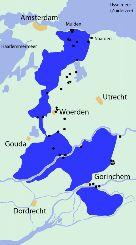
But one Dutch object is less visible and yet the only competitor in its category is the Great Wall of China. We are talking about the Dutch Waterline: This has been very important here for centuries.
There is a saying: “God created the earth – but the Dutch created their own land.” But also that “taking and giving the waters”. That is exactly what the Dutch did: the water of an enemy at times also became an ally.
This process started in the 16the century. In 1568 the uprising against the Spanish ruler began with the alliance of 10 Dutch cities. They defended themselves by flooding the area around their environment. It led to a long struggle of 80 years, but in the end it was in the 17the Century Holland as part of the Republic of the United Netherlands a free and above all independent world power. The success of the defense was mainly attributed to the inundations now called the Dutch Waterline.
With that won freedom, the threat of the large and jealous neighboring countries such as England, France and Germany remained. The frugal Dutch did not want to spend a lot of money on defense and there was plenty of water. The Waterline remained a fairly successful concept until 1940.
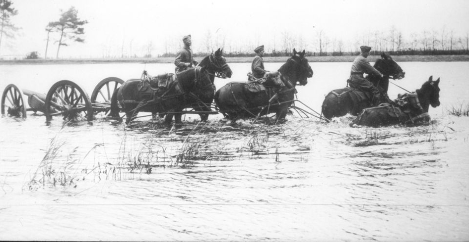
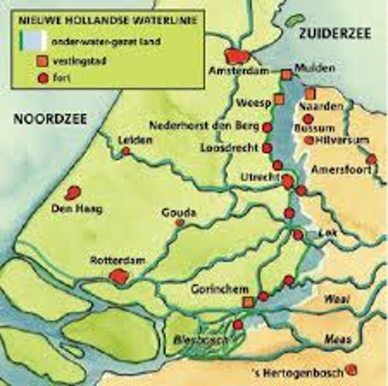
In the 19the century it was decided to adjust the original plan “Inundation of large approach areas” to New Dutch Waterline. An artificial hydraulic engineering system had to ensure an accurately calculated water depth with each approach. Recognized approaches via dikes were controlled by forts in combination with the essential locks. For enemy infantry or vehicles, the invisible presence of ditches represented a deadly risk. Construction and adjustments followed military developments until 1940.
In the end, the line became 85 km long, with no fewer than 68 sustainable fortifications / 45 forts, 6 fortresses and 2 castles, of which we will see a number of them during our rides. We will also visit Fort Altena. If the entire line is flooded, there is a height difference between locations of 4 meters and where the width of the flooded areas varies from 3 to 5 km. The southern part of this new water line is De Biesbosch National Park: we will visit this sailing
The beauty and natural importance of the waterline will become clear during a visit, which also addresses the living conditions of the occupation